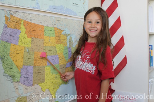
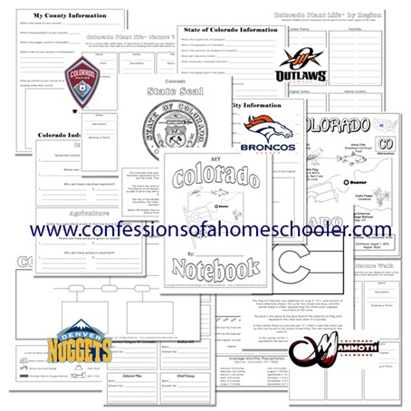
Colorado is in the heart of the Rocky Mountain range. It is nicknamed “The Centennial State” because it entered the union in 1876, just 100 years after the signing of the Declaration of Independence. It has over 50 mountain peaks over 14,000 feet in elevation. The average elevation of Colorado is 6,800 feet above sea level making it the highest state in the United States. Denver is known as “The Mile High City”, and it has 4 major rivers flowing through it, the Colorado River, Rio Grande, South Platte and Arkansas, can you find them on the map? Here are some of the things we learned about this week: Located Colorado on our wall map Read our National Geographic Atlas and located Denver, CO using the map coordinates. Worked on our 50 States and Capitals song Learned about the state and it’s flag State Bird: Lark Bunting State Fish: Greenback Cutthroat Trout State Flower: Columbine State Insect: Hairstreak Butterfly State Landmarks: Pikes Peak, … [Read more...]


